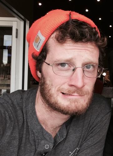
Log in

Sign up for our weekly newsletter!

When & Where
Date: 
Fri, May 8, 2020 - 9:00 AM to 12:00 PM
Location: 
Remote (Zoom information forthcoming)
Description
Type: 
Zoom Link
To obtain the Zoom link for this workshop please click the link below:
 
After re-registering on the Zoom website, you will receive a confirmation email containing information about joining the meeting.
If you already have and use a Zoom account, please sign into it first, before trying to access the D-Lab workshop.
If you have questions or problems with Zoom, please email: dlab-frontdesk@berkeley.edu
 
Overview
 
Since 1790, the US Census has been THE source of data about American people, providing valuable insights to social scientists and humanists.  Mapping these data by census geographies adds more value by allowing researchers to explore spatial trends and outliers.  This workshop will introduce three key packages for streamlining census data workflows in R: tigristidycensus and tmap.  Participants will learn how to download census tabular data for one or more geographic aggregation units or years, download the associated census geographic data and then join these data for analysis and mapping.


Github Repo: https://github.com/dlab-berkeley/Census-Data-in-R

Technology Requirements: 

Bring a laptop with R, RStudio and the following R packages installed: sp, sf, rgdal, rgeos, raster, ggplot2, and tmap, tigris and tidycensus.

Knowledge Requirements:

 R experience equivalent to the D-Lab R Fundamentals workshop series is required to follow along with the tutorial. Basic knowledge of census data and geospatial data will be very helpful.

Keyword: 
Primary Tool: 
R
Details
Training Learner Level: 
Basic Competency
Training Host: 
D-lab Facilitator: 
Patty Frontiera
Format Detail: 
Remote, hands-on, interactive
Participant Technology Requirement: 
Laptop, Internet connection, Zoom account
Log in to register for this training.